[ Dual-Use Aerial Intelligence Platform ]
Autonomous skies.
Decisive response.
An AI-driven distributed multi-UAV coordination platform delivering real-time situational awareness, target detection, and autonomous mission execution across defense and civilian domains.
A unified operational framework for autonomous aerial response.
ZeyroAI combines autonomous reconnaissance drones, distributed mesh communication, and computer vision analytics into a single resilient platform. Each aerial unit functions as both a sensor and a dynamic communication relay, enabling reliable connectivity in infrastructure-denied environments.
One core architecture serves two missions: defense reconnaissance and coordinated response, and humanitarian search, rescue, and disaster operations — where speed, autonomy, and situational awareness save lives.
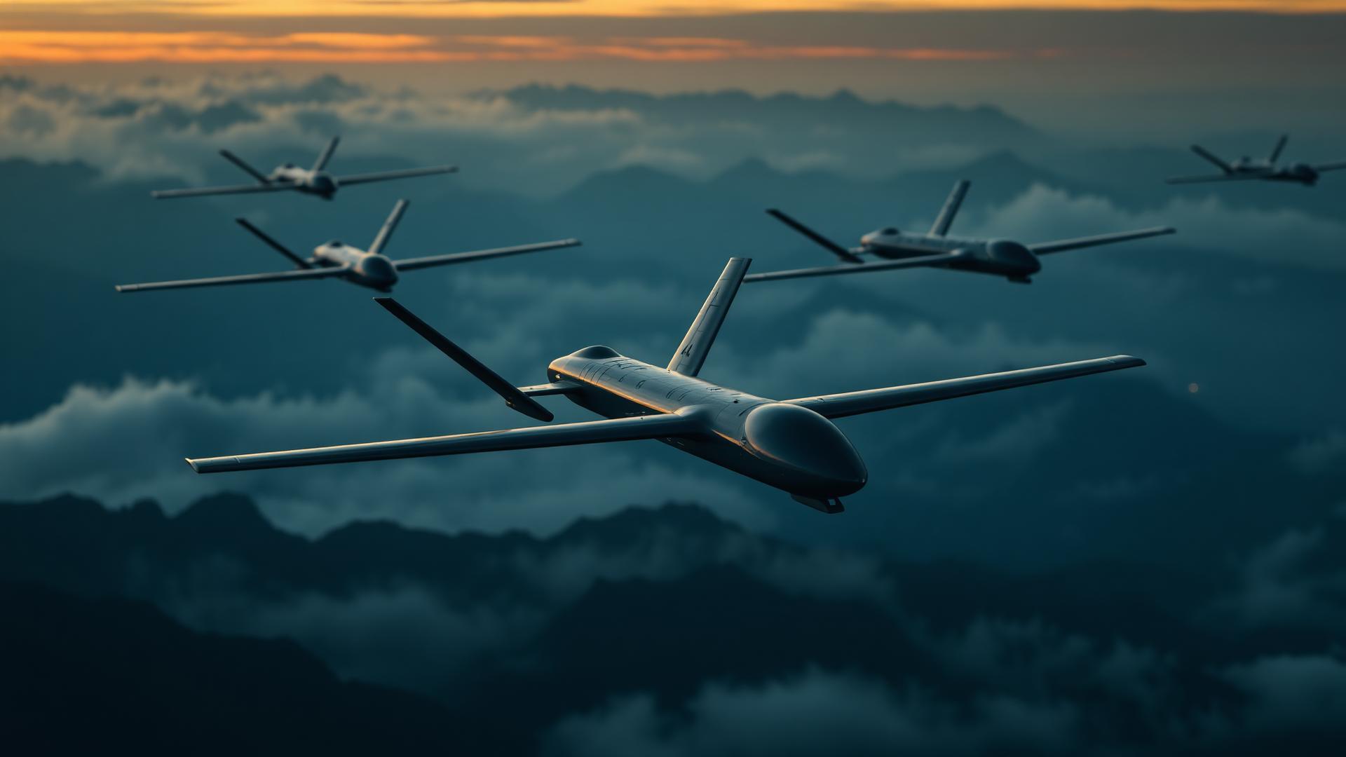
Reconnaissance & Coordinated Response
Autonomous surveillance, target detection and tracking, and human-in-the-loop response workflows over a self-healing airborne network.
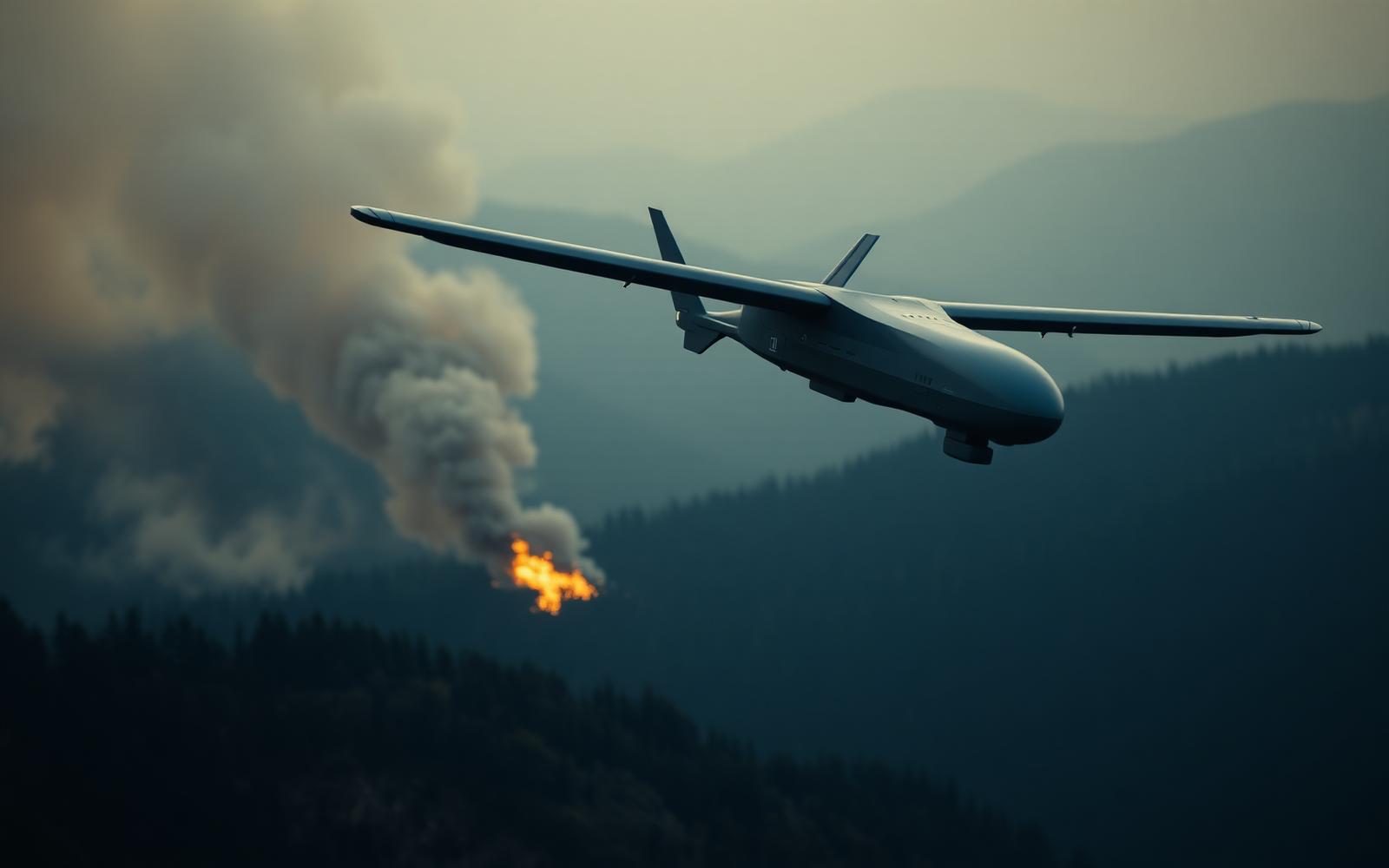
Search, Rescue & Disaster Response
Rapid deployment in remote and infrastructure-denied environments. AI-assisted detection of missing persons, vessels, and emergency signals.
Built for resilience at the edge.
Distributed Mesh Network
Each UAV is a self-healing relay node forming a resilient network with stable connectivity for all airborne assets.
Autonomous Navigation
UAVs follow operator-defined trajectories and adapt routes dynamically using real-time environmental data.
AI Detection Pipeline
Object classification, human silhouettes, thermal signatures, and persistent tracking from detection to mission end.
Network Redundancy
Loss of a unit triggers automatic topology reconfiguration, preserving coverage and communication integrity.
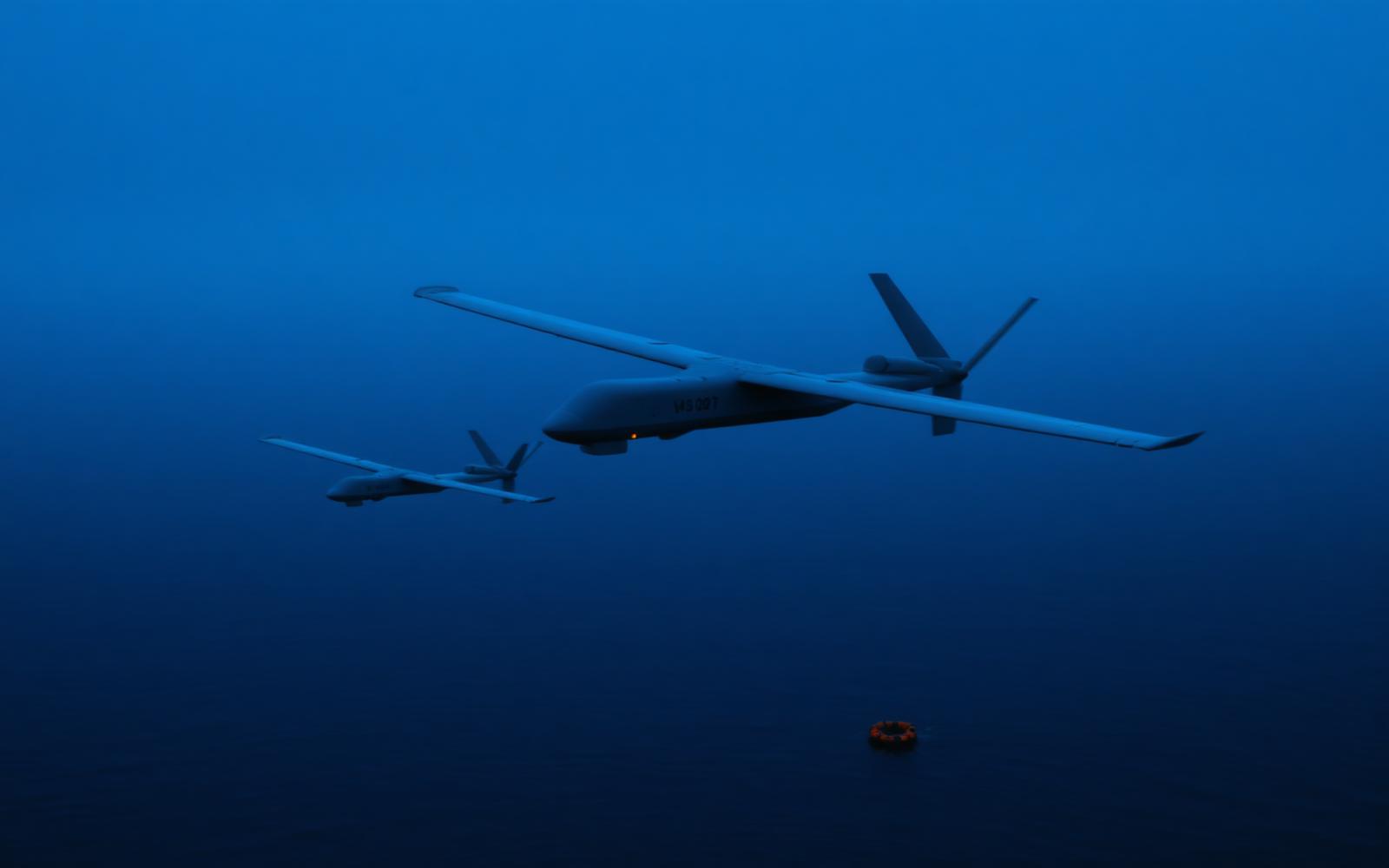
Maritime Operations
Open water. Extended range. Faster recovery.
The airborne mesh extends operational range beyond traditional communication limits. Onboard AI identifies individuals in water, small vessels, debris, and emergency markers across vast maritime zones.
One platform. Every layer of the operational picture.
Unified airspace picture in sub-second latency.
Every UAV streams position, payload status, and detection events into a single operator console — synchronized across the mesh.
Self-healing mesh
Airborne relays maintain connectivity in GPS- and infrastructure-denied zones.
Onboard inference
Detection pipeline runs at the edge — no cloud dependency.
Persistent search across denied terrain.
Coordinated sweeps over forest, mountain, and maritime zones.
Hardened operational stack
Encrypted links, signed firmware, redundant topology — built for contested environments.
Long-Term Vision